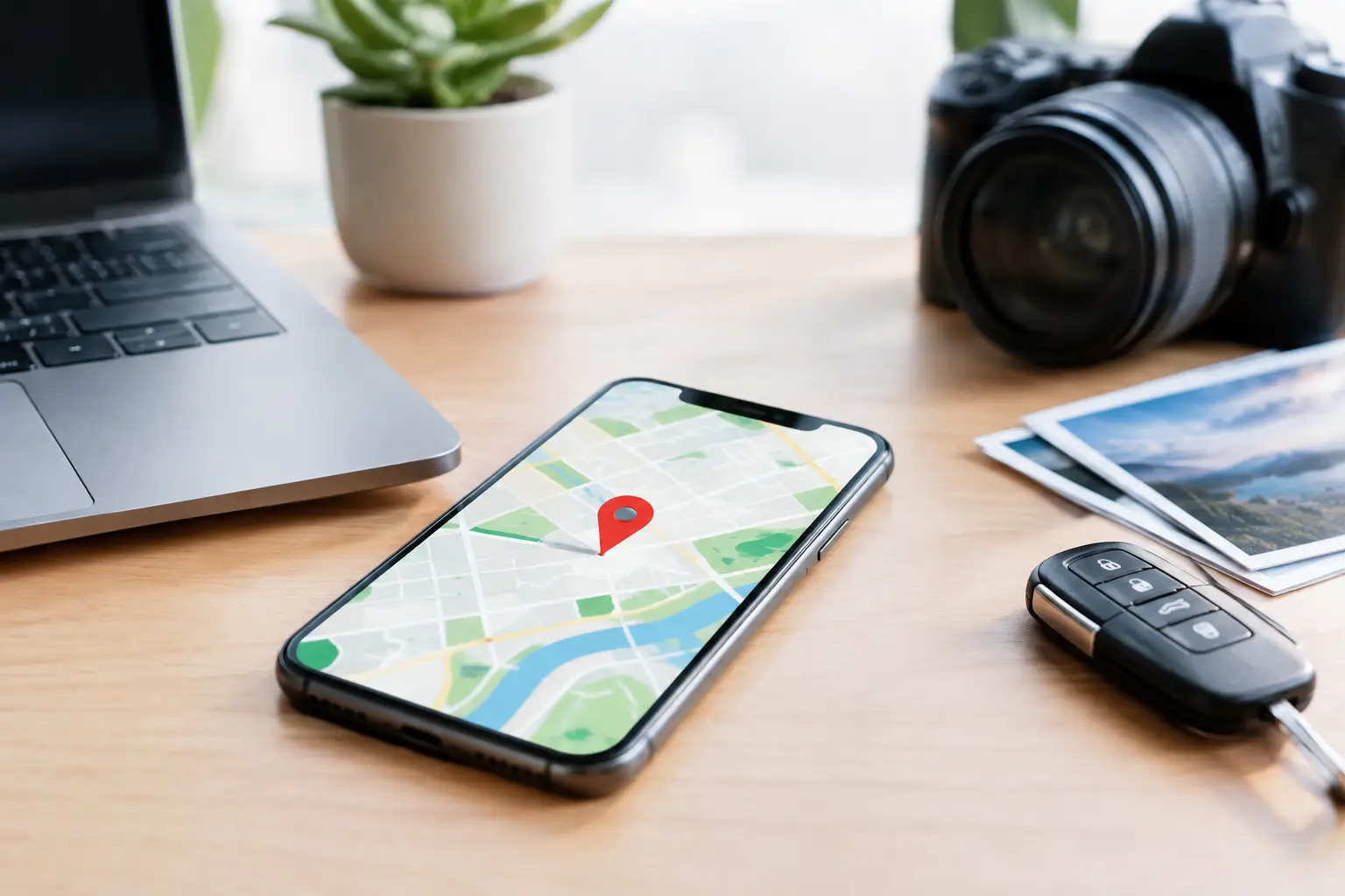
A single location pin can alter the direction of a criminal defence, family dispute, fraud inquiry or workplace investigation. Yet sources of geolocation evidence rarely provide a simple answer to where a person was at a particular time. They produce records created by devices, applications and networks, each with its own accuracy limits, retention period and evidential weight. The task is to recover those records lawfully, preserve them correctly and explain precisely what they do – and do not – establish.
Sources of geolocation evidence: the evidential landscape
Geolocation evidence is digital information capable of indicating the location, movement or proximity of a device, account, vehicle or user. In some cases, it can place a handset near a scene. In others, it can show that a claimed journey was unlikely, establish contact between devices, or identify a pattern of activity over days or months.
The distinction between a device location and a person location is fundamental. A phone may have been left in a car, lent to another person, switched off, operating in aeroplane mode or connected to an account used by more than one individual. A competent forensic report will not overstate the evidence. It will identify the artefact, its source, the relevant time zone, the available accuracy information and the inferences that can reasonably be drawn.
For legal teams, the strongest findings commonly arise from corroboration. A handset’s GPS history may align with an image metadata record, a messaging attachment, a vehicle journey log and cell site activity. Conversely, conflicting records may expose an incorrect device clock, account synchronisation issue or an unreliable assertion about who used the device.
Mobile phone location records
Modern mobile phones create the richest and most frequently examined location record. The available evidence depends on the handset, operating system, settings, user behaviour and whether acquisition is carried out while relevant data remains accessible.
GPS, Wi-Fi and Bluetooth positioning
GPS and other satellite-based positioning can provide highly specific coordinates, particularly outdoors with a clear view of the sky. However, precision is not guaranteed. Buildings, weather, signal conditions and the way an application records a point can affect accuracy. A location record with a stated horizontal accuracy of 500 metres cannot properly be presented as proof of presence at a particular address.
Wi-Fi positioning is often valuable indoors or in urban areas. It estimates location using nearby wireless networks and recognised network identifiers. Bluetooth records may also show proximity to a known device, vehicle system or tracker. These sources can support a movement narrative, but they must be assessed in context: proximity to a network is not always proof that a user entered a particular property.
App data, maps and account synchronisation
Mapping, fitness, ride-hailing, dating, social media, weather and photo applications may retain coordinates, searched places, journeys, routes or check-ins. Browser searches for locations and navigation destinations can also be relevant, even where no completed journey is shown.
Cloud-linked accounts can preserve data after a handset has been damaged, reset or replaced. They may also introduce complexity. A location history may be generated by multiple enrolled devices, and synchronisation can occur later than the underlying event. Forensic examination should distinguish creation time, modification time, upload time and the time attributed to the location event itself.
Messages, calls and media
Messages can contain shared pins, live-location updates, map links and references to landmarks. Images and videos may carry Exchangeable Image File Format, or EXIF, metadata including coordinates and timestamps. A photo’s metadata can be compelling, but it is not automatically decisive. Metadata can be removed, altered, inherited through editing or reflect an incorrect device time setting.
Call logs, application calls and contact records can also help establish a timeline. Their primary value is often evidential corroboration when compared with network records, communications content and device use.
Network and provider-held evidence
Mobile network evidence is different from GPS evidence. A handset connects to a cell site or sector for communications and data activity; this can help indicate the broad area from which activity occurred. It does not ordinarily identify an exact point on a map.
Cell site analysis may consider call data records, cell identifiers, sector direction, timing and radio-frequency characteristics. In suitable circumstances, specialist analysis can assess the coverage expected from particular masts. Terrain, building density, network load, handset behaviour and changes to network infrastructure all matter. A phone can connect to a less nearby mast, so simplistic assertions based on mast distance are unsafe.
Internet connection records may provide public IP addresses, subscriber information and connection times. IP geolocation is generally useful at country, region or town level, depending on the provider and context, but it is usually not an address-level location tool. Corporate networks, virtual private networks, mobile data routing and shared connections can materially reduce certainty.
Vehicle, wearable and connected-device records
A growing number of cases involve evidence beyond the mobile handset. Vehicles may retain navigation destinations, paired-device details, call records, recent routes, charging events, ignition times, telematics data or event data following a collision. The type and quantity of information varies greatly by manufacturer, model, subscription status and whether data is held only in the vehicle, within an associated application or by a service provider.
Smartwatches and fitness devices can record route traces, step counts, workout locations and Bluetooth pairings. Home systems may preserve timestamps from doorbells, alarms, smart speakers or connected cameras. These artefacts can establish activity at or near a property, but not necessarily the identity of the person involved.
When examining such material, investigators must document the source device, its condition, power state and connections before attempting access. An unplanned interaction can overwrite recent records, trigger synchronisation or change the state of the evidence.
Open-source material and location claims
Public posts, marketplace listings, photographs and videos can reveal location clues through captions, landmarks, language, weather, transport signage and visible premises. A seemingly minor background detail can be significant when tested against reliable reference material.
Open-source intelligence is particularly useful for developing lines of inquiry, identifying accounts and testing accounts of events. It requires careful capture. Online content can be edited, deleted, reposted or attributed incorrectly. A screenshot alone may be insufficient to demonstrate provenance, publication time or the account from which material was obtained. The method of collection and preservation must be capable of explanation if the evidence is challenged.
How geolocation evidence becomes defensible
The source matters, but the process matters just as much. Geolocation evidence should be acquired using proportionate, repeatable forensic methods that minimise alteration. The examiner should record device identifiers, condition, acquisition method, relevant tool versions, hash values where applicable, and every transfer of material within the chain of custody.
A defensible examination also requires interpretation rather than a data dump. Location databases can contain thousands of coordinates, cached tiles, duplicate entries and records generated by system services. The relevant question may be whether a device was in a defined area during a narrow time window, whether two devices were co-located repeatedly, or whether a route is consistent with an alleged sequence of events.
The following factors should be addressed before relying on a location finding:
- the origin of the record and whether it was created by the device, an app, a network or a cloud service;
- the time basis, including UTC conversion, daylight-saving changes and signs of clock error;
- stated or inferred accuracy, coverage limitations and any gaps in recording;
- whether the artefact can show a device, an account, a vehicle or a particular person;
- independent evidence that supports or challenges the proposed interpretation.
This approach is particularly relevant where the opposing party relies on a screenshot, a consumer tracking application or an unsupported map plot. Such material may identify a useful lead, but it is not equivalent to a forensic finding supported by original data, documented methodology and transparent limitations.
Instructing a forensic examination early
Location data can be short-lived. Applications may overwrite caches, cloud services may apply retention limits, and normal use can change a device’s data. A device should not be explored casually by a colleague, family member or IT provider before advice is obtained. Even well-intended handling can compromise the evidential position.
Early instruction enables the legal team or investigator to preserve devices, identify third-party data sources, define relevant date ranges and avoid collecting material beyond the scope of the matter. It also helps ensure that the eventual report addresses the actual issues in dispute rather than merely cataloguing technical artefacts.
Computer Forensics Lab examines geolocation evidence with the same discipline applied to communications, deleted data and cyber incident material: preserve the original, document the method, test the interpretation and present findings impartially. Where location is likely to become contested, the most useful question is not simply whether a map point exists, but whether its source and meaning can withstand scrutiny.